Introduction
What is OpalAi?
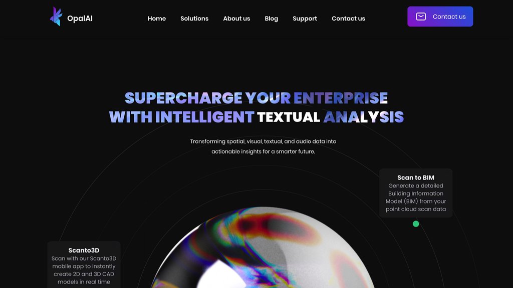
OpalAi offers sophisticated spatial computing technology, empowering users to capture, examine, and digitally reconstruct physical areas with exceptional accuracy. Its ScanTo3D feature simplifies the generation of detailed 3D models and Building Information Models (BIM) from straightforward walk-through scans, needing only LiDAR-equipped devices like smartphones or tablets. The system facilitates model editing, precise measurement, and export in numerous file types, proving indispensable for fields including real estate, construction, insurance, and city development. OpalAi prioritizes user-friendliness, the capacity to scale, and efficient handling of extensive or intricate spaces.
Key Features
Accurate 3D Scanning
Generates precise 3D models from simple scans, achieving an accuracy of under 1 inch per 30 feet. Compatible with LiDAR-enabled devices, it effectively captures spaces of any scale, from compact rooms to large complexes.
Integrated Editing and Measurement
Enables users to apply textures, modify scanned spaces, and perform accurate measurements directly within the application.
Multi-Format Export
Allows digital models to be exported in a variety of formats, ensuring smooth incorporation into current professional workflows.
Automated BIM Generation
Automatically converts scan data into Building Information Models, minimizing manual input and accelerating project timelines.
Scalable for Any Property Size
Capably manages projects of all dimensions, from individual interior spaces to entire buildings, without constraints.
Use Cases
Real Estate Visualization : Agents and managers can produce immersive 3D tours and conduct in-depth property evaluations.
Construction Planning : Architects and builders enhance efficiency by rapidly scanning sites and creating BIMs for improved documentation and teamwork.
Insurance Assessment : Insurance companies can automate property inspections and risk evaluation, boosting precision and speeding up claim processing.
Urban Planning : Planners and engineers utilize detailed spatial data to guide infrastructure projects and smart city development.
Disaster Management : Emergency services employ 3D models for effective damage assessment and strategic response planning after catastrophic events.