Mappedin
Smart indoor mapping platform: create 3D maps with live navigation
Introduction
What is Mappedin?
Mappedin offers a powerful, scalable solution for digitizing physical venues, delivering precise and interactive 3D maps for wayfinding and spatial data management. It utilizes artificial intelligence to automatically generate navigable digital maps from static floor plans, streamlining the conversion process. The system facilitates live updates, navigation across multiple levels, and the integration of detailed location data, catering to a wide array of sectors including retail centers, airports, corporate campuses, and public safety operations. Furthermore, Mappedin supplies comprehensive software development kits (SDKs) and APIs, allowing businesses to seamlessly incorporate and tailor these indoor maps within their own applications and websites, ensuring spatial information remains current.
Key Features:
• AI-Driven Map Generation: Automates the transformation of architectural blueprints into accurate digital layouts by intelligently identifying structural elements like walls and pathways, minimizing manual input.
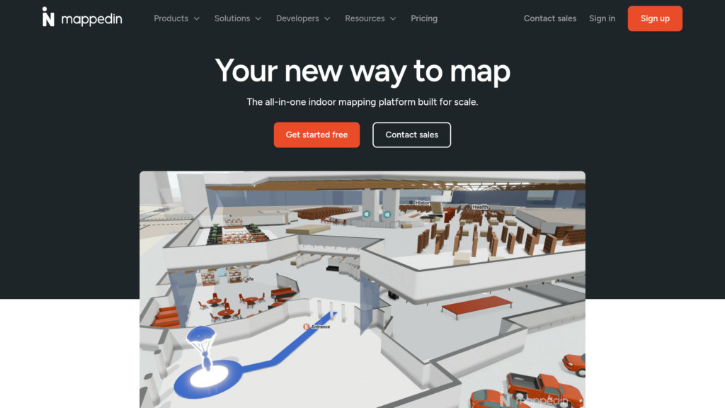
• Interactive 3D Visualization & Navigation: Delivers rich 3D representations with step-by-step indoor guidance, routing across different floors, and live positioning for a smooth user journey.
• Live Editing & Team Collaboration: Supports real-time map modifications and upkeep with customizable user permissions, draft/publish workflows, and tools for team cooperation to maintain map precision.
• Comprehensive Developer Tools: Provides SDKs and APIs for embedding maps into digital properties, customizing their visual design, and connecting with third-party data to extend capabilities.
• Advanced Data Analytics: Monitors user interactions and map engagement to deliver valuable insights for optimizing space utilization and enhancing visitor experiences.
• Universal Accessibility & Compatibility: Ensures broad access with offline functionality, support for right-to-left languages, and deployment across mobile, web, kiosks, and other software systems.
Use Cases:
• Retail and Shopping Centers: Elevates the customer journey with interactive directories, merchandise locators, and guided paths to stores and special offers.
• Airports and Transit Centers: Aids passengers with real-time directional assistance, integration with flight information, and navigation through intricate terminal layouts.
• Corporate Offices and Campuses: Streamlines office management, guides visitors, and assists in the allocation of resources throughout multi-story buildings.
• Public Safety and Emergency Services: Equips first responders with detailed interior maps, locations of critical safety gear, and real-time navigation to enhance operational awareness during incidents.
• Major Events and Stadiums: Manages crowd movement and safety through digital mapping, search for amenities, and indoor positioning for large gatherings.