Citymapper
Smart urban navigation app with real-time multi-mode route planning
Introduction
What is Citymapper?
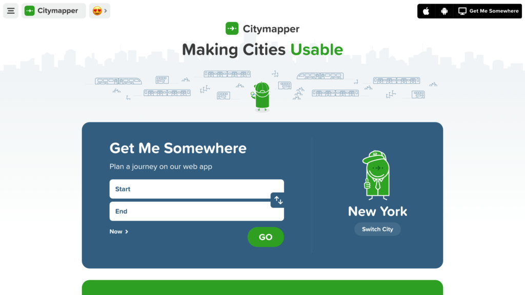
Citymapper is a premier urban navigation application that streamlines travel across major global cities. It consolidates live information from diverse transport methods—such as buses, trains, subways, bicycles, e-scooters, ride-hailing services, and pedestrian paths—into one intuitive interface. By harnessing open data, community input, and sophisticated AI, the app generates precise, tailored itineraries that balance efficiency, expense, and ease. It is committed to inclusivity with features like step-free routing and also provides real-time journey monitoring, voice guidance, and offline access, serving as an essential tool for its vast user base of over 50 million people.
Key Features
Multimodal Journey Planning
Integrates public transportation, walking, bike-sharing, scooter rentals, and taxi services to deliver adaptable and optimal travel paths.
Real-Time Data and ETAs
Provides live alerts on vehicle arrivals, service disruptions, and turn-by-turn guidance with continuously updated arrival estimates.
Personalized Routing Options
Allows customization of trips based on preferences for quickest time, lowest fare, least number of changes, or reduced walking, including accessible pathways.
City-Specific Customization
Employs local maps, vernacular signage, and area-specific advice to offer a native and user-friendly experience in different metropolitan areas.
Advanced Safety and Convenience Features
Encompasses audio directions, progress updates on the device lock screen, and the functionality to share live ETA with friends or family.
Offline and Accessibility Support
Enables downloading trips for use without an internet connection and provides barrier-free routing in numerous locations to meet various mobility requirements.
Use Cases
Daily Commuting : Aids individuals in discovering the most efficient, economical, or straightforward routes for their regular work or school travel using combined transport modes.
Tourism and City Exploration : Guides tourists through new urban environments with up-to-the-minute transit details and localized system knowledge.
Accessibility Planning : Facilitates travel for individuals needing wheelchair-accessible itineraries or routes with limited physical exertion.
Multimodal Trip Optimization : Empowers users to seamlessly link different transport types, such as cycling and trains, for complete point-to-point journeys.
Event and Time-Sensitive Travel : Tools like departure forecasting assist in scheduling travel to ensure punctual arrival for crucial events, flights, or meetings.
